Santa Ana River Mainstem Habitat Mitigation & Restoration
UltraSystems is completing riparian and floodplain restoration within the Santa Ana River (SAR) floodplain from the Norco Bluffs area downstream to an area near the Corona Airport in Riverside County, California. Up to 215 acres (Target Areas) of riparian and floodplain restoration is required to compensate for anticipated temporary and permanent impacts caused by the U. S. Army Corps of Engineers (USACE) SAR Mainstem Flood Control Project (SARMP). Portions of the SAR Watershed upstream of Interstate (I-) 15 have been restored over the past two decades, and approximately 250 acres (Norco Site) downstream of I-15 are currently undergoing restoration by the USACE. UltraSystems will continue riparian and floodplain restoration within the Norco Site for one year (2015) in addition to initiating a five-year restoration effort beginning in 2014 within other areas.
An estimated 356 total acres are targeted for non-native vegetation removal and habitat restoration. Within this area, UltraSystems plans to remove up to 215 acres of non-native vegetation in areas that (1) are not part of other mitigation or non-native vegetation removal programs, and (2) contain approximately 60 percent of non-native vegetation cover. The tasks to be completed on an annual basis to implement and monitor riparian and floodplain restoration within Target Areas, include: Project Administration, Access and Public Outreach, California Rapid Assessment Method Surveys, Vegetation Sampling, Avian Surveys, Focused Federally Listed Avian Surveys, Cowbird Trapping, Non-native Vegetation Removal, Habitat Restoration, Norco Site Maintenance and Monitoring for one year, Geographic Information System (GIS) Database Management and Preparation of Annual Reports.
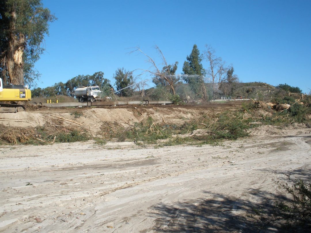
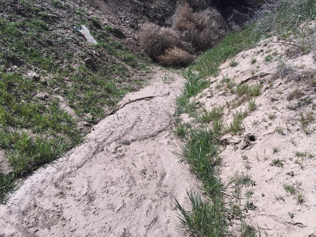
Habitat restoration requires removal of non-native vegetation which typically include arundo (Arundo dona), salt cedar (Tamarix ramosissima), castor bean (Ricinus communis), broadleaved pepperweed (Lepidium latifolium) and tree tobacco (Nicotiana glauca) within four selected Target Areas, and application of a minimum of herbicide in compliance with applicable state and federal standards and criteria. Areas selected for non-native vegetation were delineated in the field using a Trimble Global Positioning System (GPS) to quantify the total acreage of non-native vegetation removed within each Target Area.
The Field Quality Control Manager coordinates with field staff to ensure that special status species are not impacted during non-native vegetation removal and/or herbicide treatments. As part of the quality control program, field personnel participate in daily tailgate briefings to identify safety requirements to protect field personnel and measures to protect special status species.